
Interactive mapping, outdoor and indoor maps, routing, traffic, geospatial dashboards, asset overlays, popups, satellite views, road views, waterways, infrastructure constraints, and location intelligence for operational decision-making.
Evolvement LLC has significant Azure Maps experience building interactive, data-driven geospatial applications. Azure Maps can serve as the visual operating layer for logistics, mission planning, infrastructure, facility awareness, IoT sensors, drone data, routes, assets, popups, and geospatial dashboards.
The screenshots below are packaged locally with this page so they render reliably. They show map canvases, routes, traffic, indoor/outdoor views, satellite/road/waterway views, pins, shapes, popups, infrastructure constraints, and architecture. Additional examples can be modeled after the Azure Maps sample gallery at samples.azuremaps.com.
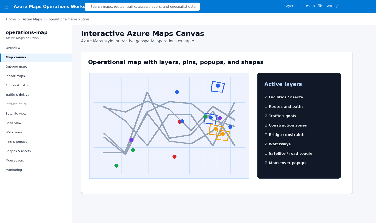
Map layers, pins, popups, shapes, colors, labels, mouseovers, asset overlays, and filterable operational views.
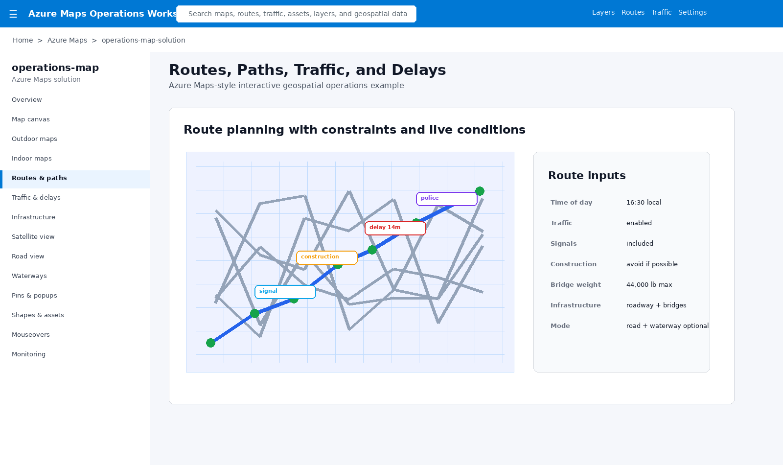
Routes can account for traffic, signals, time of day, construction, police activity, delays, bridges, and infrastructure constraints.
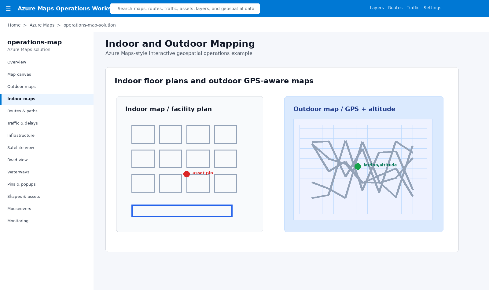
Indoor facility maps and outdoor GPS-aware maps can support assets, altitude, location, and operational awareness.
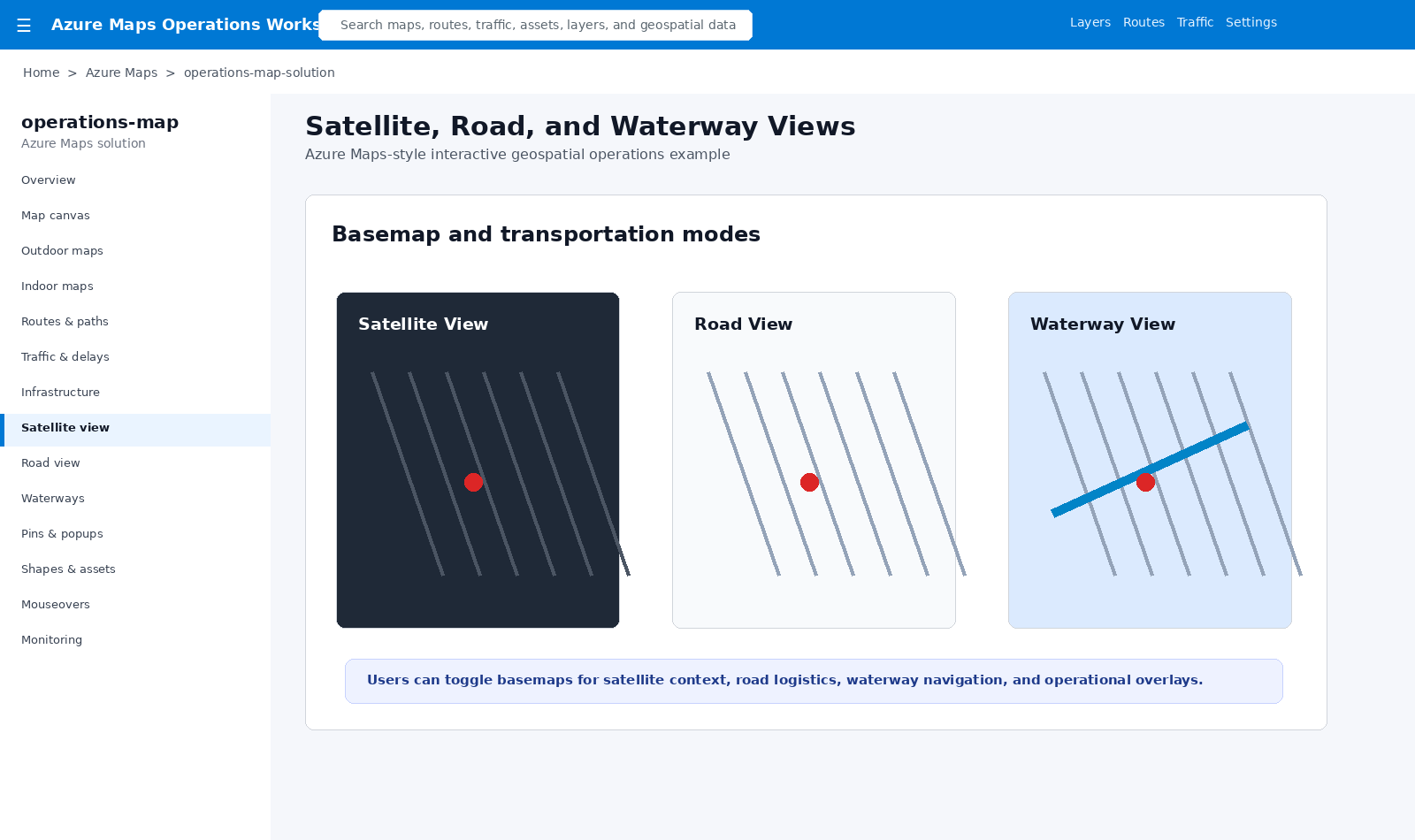
Users can toggle between satellite, road, and waterway views depending on the mission or business context.
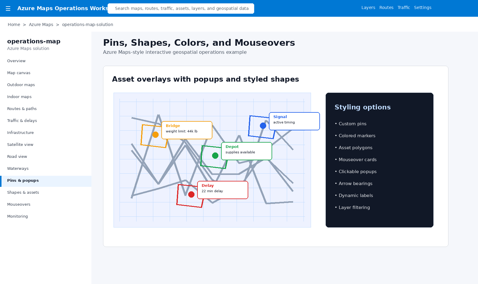
Styled pins, colored markers, polygons, mouseovers, clickable popups, custom labels, and dynamic asset overlays.
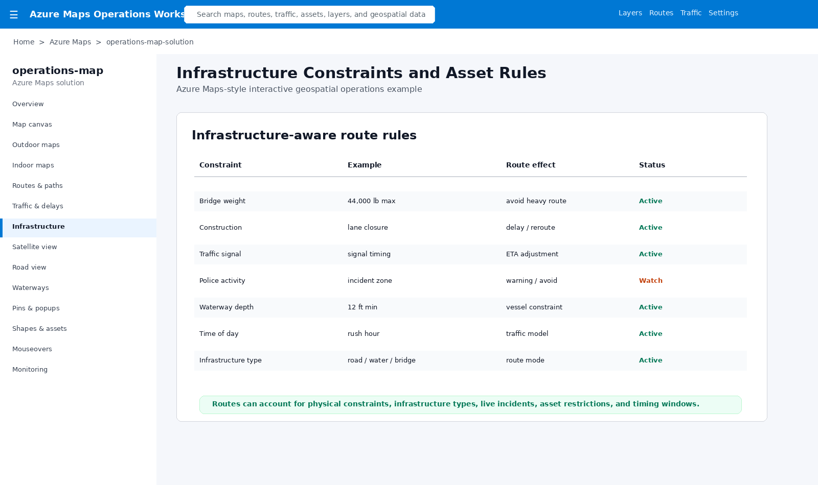
Bridge weight, construction, signals, police activity, waterway depth, time of day, and infrastructure type can drive routing.
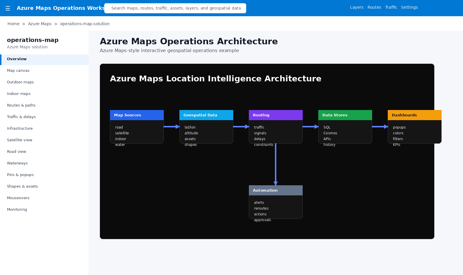
Map sources, geospatial data, routing, APIs, SQL, Cosmos, dashboards, and automations work together.
Road, satellite, indoor, outdoor, waterway, traffic, and infrastructure views.
Latitude, longitude, altitude, assets, pins, paths, polygons, and shapes.
Traffic, delays, time of day, signals, construction, bridges, weight, and constraints.
Dashboards, popups, mouseovers, colors, labels, alerts, and filters.
APIs, SQL, Cosmos, Power BI, IoT, drone data, automations, and approvals.
This pattern turns Azure Maps into an operational interface. Users can see where assets are, understand how routes are affected by real-world constraints, inspect details through mouseovers and popups, and connect geospatial insight to dashboards and workflows.